Flathead NF: Hungry Horse Reservoir Closed Due to Fire Activity
Kalispell, MT, August 8, 2023 — As of 7:00am this morning, the Hungry Horse Reservoir is closed to all public access. As firefighting efforts continue on the Ridge Fire, the Tin Soldier Complex, and Stadium Creek Fire, and other fires in the area, the closure is in place to provide for public and firefighter safety.
The Hungry Horse Reservoir is a very large area with a high level of recreation use with limited emergency egress and fire is now on three sides. While the relatively cooler weather has moderated recent fire growth, hot and dry conditions are forecasted to return and increased wind speeds can cause more active fire behavior. If fire activity were to increase, firefighting personnel and first responders could be diverted from the firefighting effort to facilitating safe public evacuation.
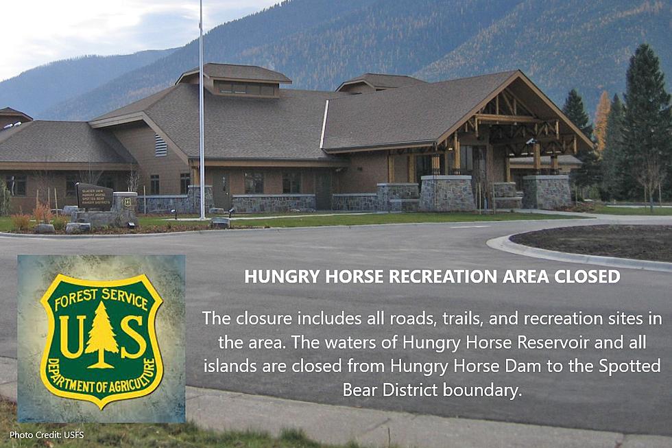
The closure includes all roads, trails, and recreation sites in the area. The waters of Hungry Horse Reservoir and all islands are closed from Hungry Horse Dam to the Spotted Bear District boundary. NFS Road 895 will remain open approximately 800 feet south of the west abutment of Hungry Horse Dam to facilitate traffic flow.
Today, (Tues. August 8) law enforcement officials are conducting sweeps of the reservoir on land and water to ensure all visitors are aware of the closure and are able to leave the area. Signs indicating the closure are posted at access points and trailheads.
Previous Area Closures Still in Effect:
Tin Soldier Complex Closure Order 01-10-04-23-13: The closure area encompasses the southern portion of the Hungry Horse Reservoir from the Jewel Basin Hiking Area boundary west of the reservoir to the mountain ridgeline from Prospector Mountain along the Great Bear and Bob Marshall Wilderness boundaries to Inspiration Point in section 4 T23N R16W. The waters of Hungry Horse Reservoir within this boundary are included in the closure area.
All roads and trails within the closure are closed to the public, including two additional trails:
- NFS Trail #7 (Alpine 7) from the junction with NFS Trail #10 (Six Mile Trail), south to the Junction with NFS Trail #31(Napa Point Trail).
- Spotted Bear River Trail #2 from the Wilderness Boundary to its junction with NFS Trail #173 (Pentagon Creek).
NFS Trail #64 and NFS Road 895F are not part of the closure and remain open.
A map of the described area is here.
Stadium Creek Closure Order 01-10-04-23-15: The closed area encompasses Gorge Creek drainage within the Bob Marshall Wilderness area, including Feather, Inspiration, Gorge, Canyon Trickle, and Stadium Creeks.
All roads and trails within the closure are closed to the public. The closure includes:
- NFS Trail #105
- NFS Trail # 107
- NFS Trail #218
A map of the described area is here.
Stage II Restrictions went into effect at 12:01am Saturday, August 5th, 2023, across the Flathead National Forest, Kootenai National Forest, Glacier National Park, US Fish and Wildlife Service, Montana Department of Natural Resources and Conservation - Northwestern Land Office, Montana Fish, Wildlife & Parks Region 1, and Lake County, Lincoln County, Flathead County, and Sanders County.
More From KSEN AM 1150